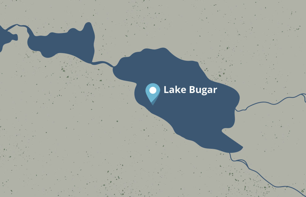
Lake Bugar appears in the north of the Krasnoyarsk Territory as a new geographical point
According to the Territory Administration, the reservoir is located in the permafrost area in Taymyrsky Dolgano-Nenetsky Municipal District, at 69º,1505′ North, 90º,1140′ East.
The name of the lake originates from the Evenk language and means “an old burnt forest area.” Bugar is situated in the land of northern intermountain lakes, near lakes Sobachye, Glubokoye and Lama.
Before including the geographical name in the official list experts of the Federal Service for State Registration, Cadastre and Cartography (Rosreestr) scrutinized reference books and map documents. A comprehensive analysis made it possible to add the name to the map.
“Adding precise data to the catalogue of geographical names is necessary for ensuring uniformity and reliability of information on the location of objects, which is important for cartography, navigation and legal documentation. This avoids confusion in names, ensures correct operation of government services and promotes effective interagency cooperation in solving various tasks related to geographic locations,” noted Head of the Rosreestr Branch for the Krasnoyarsk Territory Tatiana Goldobina.
