https://en.arctic.ru
Scientists will use AI technologies for predicting spring-time floods in Yamal
Scientists will use AI technologies for predicting spring-time floods in Yamal
Arctic.ru: Discover how Russia implements its development goals in the Arctic and the Far East
2026-10-20T16:00
2026-10-20T16:00
2026-10-21T10:42
news
yamal-nenets autonomous area
science and technology
ecology
/img/07ea/0a/14/1858265_0:0:3000:1688_1920x0_80_0_0_882eaf5535faa591e485d8f1de9cfe61.jpg
Scientists from the Arctic and Antarctic Research Institute (AARI) have developed a method to compile long-term forecasts of spring-time floods using AI technologies. The Yamal-Nenets Autonomous Area became the first Russian region where this method was tested.The new method predicts maximum river-water levels almost two times more accurately. Over 80 percent of March 2026 forecasts for rivers in the Yamal-Nenets Autonomous Area came true which is almost two times more accurate than standard climate and weather forecasts. It became possible to predict rising water levels in the Nadym River in nearly all cases.Scientists used a system of 120 physical parameters for building digital models and calculated separate algorithms for each basin. For example, they used the ridge regression method for the Nadym and Pur rivers. They chose a hybrid approach for the Taz River and focused on the relative height of rising water levels (that exceeded the pre-spring minimum), while compiling forecasts for the Pakupur River.The model also stipulated physical restrictions for ruling out impossible (unrealistic) or abnormal forecasts. AARI scientists added two new factors, the impact of fall-time soil damping and its winter-time freezing, while developing the new method for predicting rising spring-time water levels.The basins of the Nadym, Pur and Taz rivers have strategic significance for the oil and gas industry of the Yamal-Nenets Autonomous Area. Major deposits, compressor stations and trunk gas pipelines are located here. Consequently, extreme floods can threaten the region’s industrial and transport infrastructure.“Methods developed by us will make it possible to assess risks of dangerous spring-time flooding in advance and to plan preventive measures,” Nadezhda Volkova, PhD (in Physics and Mathematics) and a senior research associate with the AARI’s Department of Hydrology of Arctic River Mouths and Water Resources, noted.
https://en.arctic.ru/20260930/1782270.html
2026
Новости
ru-RU
https://en.arctic.ru/docs/about/copyright.html
https://xn--c1acbl2abdlkab1og.xn--p1ai/
/img/07ea/0a/14/1858265_348:0:2609:1696_1920x0_80_0_0_f55066dd1b2c1b56a3785eb935f0f0d6.jpgnews, yamal-nenets autonomous area, science and technology, ecology
Scientists will use AI technologies for predicting spring-time floods in Yamal
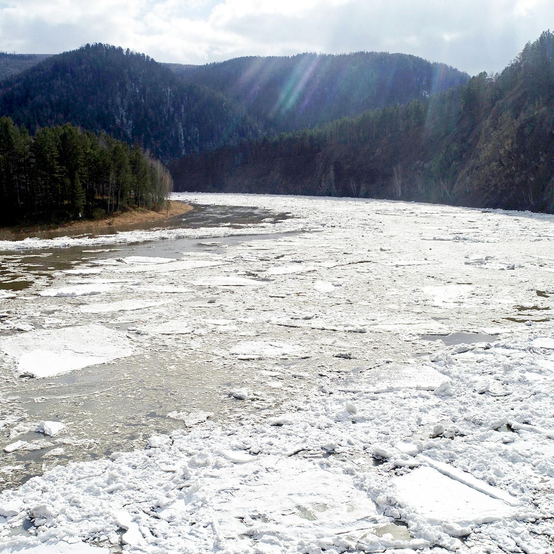
Scientists from the Arctic and Antarctic Research Institute (AARI) have developed a method to compile long-term forecasts of spring-time floods using AI technologies. The Yamal-Nenets Autonomous Area became the first Russian region where this method was tested.
The new method predicts maximum river-water levels almost two times more accurately. Over 80 percent of March 2026 forecasts for rivers in the Yamal-Nenets Autonomous Area came true which is almost two times more accurate than standard climate and weather forecasts. It became possible to predict rising water levels in the Nadym River in nearly all cases.
Scientists used a system of 120 physical parameters for building digital models and calculated separate algorithms for each basin. For example, they used the ridge regression method for the Nadym and Pur rivers. They chose a hybrid approach for the Taz River and focused on the relative height of rising water levels (that exceeded the pre-spring minimum), while compiling forecasts for the Pakupur River.
The model also stipulated physical restrictions for ruling out impossible (unrealistic) or abnormal forecasts. AARI scientists added two new factors, the impact of fall-time soil damping and its winter-time freezing, while developing the new method for predicting rising spring-time water levels.
The basins of the Nadym, Pur and Taz rivers have strategic significance for the oil and gas industry of the Yamal-Nenets Autonomous Area. Major deposits, compressor stations and trunk gas pipelines are located here. Consequently, extreme floods can threaten the region’s industrial and transport infrastructure.
“Methods developed by us will make it possible to assess risks of dangerous spring-time flooding in advance and to plan preventive measures,” Nadezhda Volkova, PhD (in Physics and Mathematics) and a senior research associate with the AARI’s Department of Hydrology of Arctic River Mouths and Water Resources, noted.