https://en.arctic.ru
The 100th anniversary of the Soviet Arctic
The 100th anniversary of the Soviet Arctic
Arctic.ru: Discover how Russia implements its development goals in the Arctic and the Far East
2026-04-15T14:32
2026-04-15T14:32
2026-04-15T14:32
more content
/img/07ea/04/0f/1398759_0:0:2560:1440_1920x0_80_0_0_60e274588e01ce84e443c5c64921452a.jpg
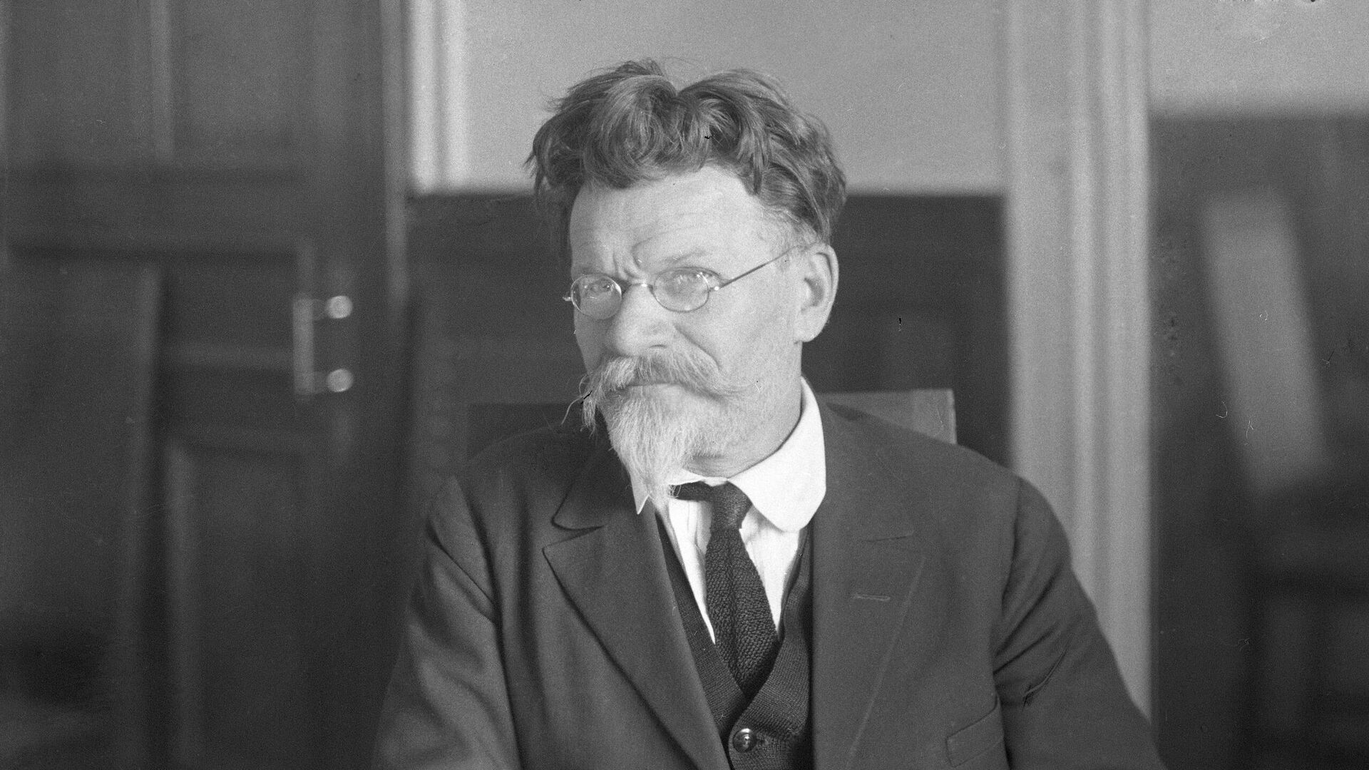
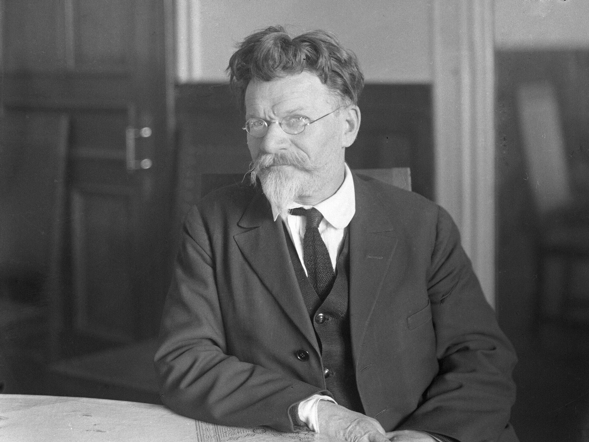
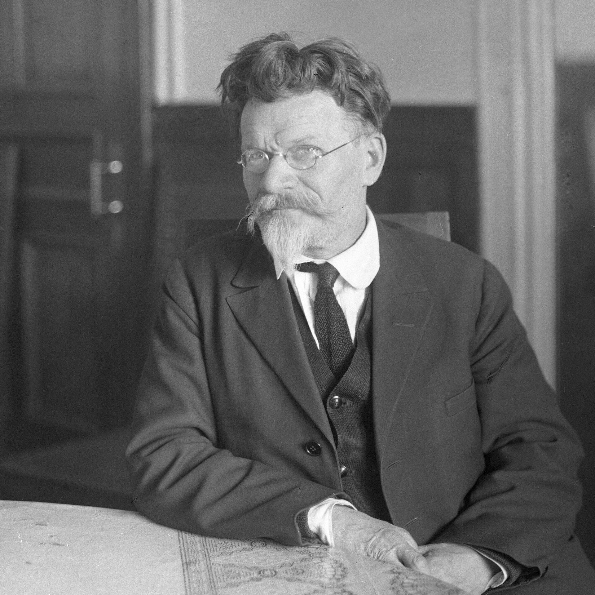
On April 15, 1926, the Presidium of the Central Executive Committee of the USSR resolved the issue of borders of Soviet polar possessions by issuing its Resolution on Declaring Lands and Islands Located in the Arctic Ocean as Soviet territory.The young Soviet state comprehended the importance of the Arctic and began to reinstate this aspect by implementing polar research projects; the first drifting scientific research stations were deployed, and cities, including Norilsk, Vorkuta, the seaports of Dikson, Tiksi and others, appeared above the Arctic Circle.
2026
Новости
ru-RU
https://en.arctic.ru/docs/about/copyright.html
https://xn--c1acbl2abdlkab1og.xn--p1ai/
/img/07ea/04/0f/1398759_0:0:2560:1920_1920x0_80_0_0_e00956055a64fea245b47715ad0085e4.jpgmore content
The 100th anniversary of the Soviet Arctic
On April 15, 1926, the Presidium of the Central Executive Committee of the USSR resolved the issue of borders of Soviet polar possessions by issuing its Resolution on Declaring Lands and Islands Located in the Arctic Ocean as Soviet territory.
The document read, in part:
“Certain Arctic lands and islands which have been discovered, and which may be discovered in the future, shall be declared as Soviet territory. This concerns lands and islands which do not constitute the territory of any foreign states, and which are not recognized as such by the Government of the Soviet Union at the moment of publishing this resolution. This concerns lands and territories which are located in the Arctic Ocean, north of the coast of the Soviet Union up to the North Pole, between a meridian located at 32 degrees, four minutes and 35 seconds eastern longitude (from the Greenwich Meridian), passing via the eastern section of Vaidaguba and via a triangulation sign on Cape Kekursky, and a meridian located at 168 degrees 49 minutes and 30 seconds western longitude (from the Greenwich Meridian) in the middle of a strait dividing the islands of Ratmanov and Krusenstern, part of the Diomede Islands Archipelago in the Bering Strait.”
The young Soviet state comprehended the importance of the Arctic and began to reinstate this aspect by implementing polar research projects; the first drifting scientific research stations were deployed, and cities, including Norilsk, Vorkuta, the seaports of Dikson, Tiksi and others, appeared above the Arctic Circle.


